Winter Weather Advisory Issued for Colorado’s Mountain Regions on Christmas Day
On December 25, 2024, a series of snow showers swept across Colorado, impacting the driving conditions especially in the mountainous areas. The National Weather Service (NWS) has declared a hazardous weather outlook that covers Summit and Grand counties, along with a significant portion of northeastern and north-central Colorado. As these wintry conditions continue into the upcoming weekend, local authorities are urging drivers to remain vigilant on the roads.
Current Weather Conditions
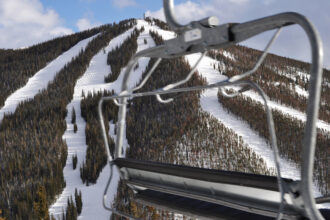
Tuesday afternoon marked the beginning of widespread light snow that progressively intensified across the mountain ranges. Although the flurries are expected to subside by late evening, the NWS warns that the roadways could remain icy and hazardous. According to forecasts, snow accumulation in several areas will range between 1 to 4 inches, while some regions just west of Denver may experience snow levels reaching up to 8 inches by the evening. For those traveling at lower elevations, light rain may accompany the continued snowfall later in the day
Traffic Alerts and Road Conditions
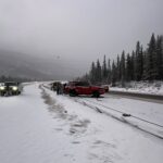
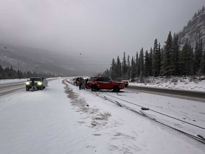
As road conditions worsened on Wednesday night, Charlie Stubblefield, the owner of Mountain Recovery, reported that icy surfaces led to a vehicle accident on eastbound Interstate 70. This incident prompted a brief closure of the road near Mile Post 198 shortly after 5 p.m. The Colorado Department of Transportation’s CoTrip.org platform displayed adverse conditions and icy patches throughout the I-70 mountain corridor, reinforcing the need for caution among drivers.
| Location | Snow Accumulation (inches) | Weather Conditions |
|---|---|---|
| Summit County | 1-4 | Snow Showers |
| Grand County | 1-4 | Snow Showers |
| West of Denver | Up to 8 | Heavy Snow Expected |
| Lower Elevations | N/A | Possibility of Light Rain |
Preparation and Future Forecasts
In Colorado, a traction law is in effect during winter weather events, requiring vehicles to be equipped with winter tires or chains. The NWS also foresees continued snowfall in the mountains on Thursday night, accompanied by potential rain and snow showers at lower elevations. Drivers are cautioned to prepare for challenging mountain driving conditions.
Looking ahead, another wave of snow showers is anticipated late Friday into early Saturday. Following this, light accumulations may persist throughout the weekend, with a fast-moving weather system predicted to bring windy conditions and additional snow to the mountains by Monday.